It might not be obvious on the surface, but the Columbia River can feel like a scene from “Finding Nemo” for some fish in the river. Young salmon and steelhead are born in the river – or surrounding tributaries – and spend time growing in the area before migrating to their home in the Pacific Ocean. But they have lots of predators trying to disrupt their long journey to the saltwater.
These young fish use off-channel wetlands and marshland to eat, grow and hide from these predators. Unfortunately, local biologists have discovered that we don’t have enough off-channel habitat for these migrating fish, especially in the Portland-metro area.
In the last year, the Port partnered with the Army Corps of Engineers and the Columbia River Estuary Study Taskforce (CREST) on two projects to create more access to marshland for salmon and steelhead.
Reconnecting a Lake to Protect Young Salmon
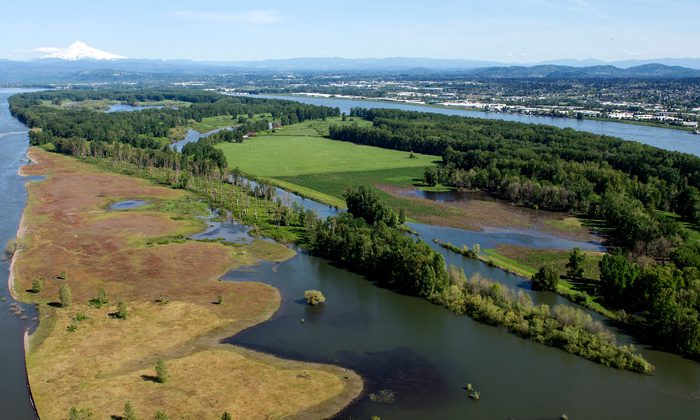
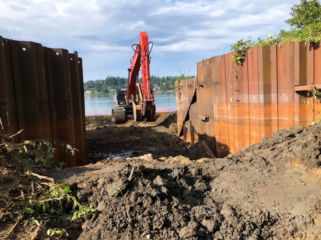
Our first project, completed in the fall of 2019, took place on Government Island. Owned by the Port, Government Island is located near the Portland International Airport and features approximately 2,000 acres of open space for wildlife and limited recreation. CREST led the project on behalf of the Bonneville Power Administration to reconnect 289 acres of off-channel habitat on the island to the Columbia River – allowing our own little Nemo’s in the river to access the resources of an inland lake and grow stronger.
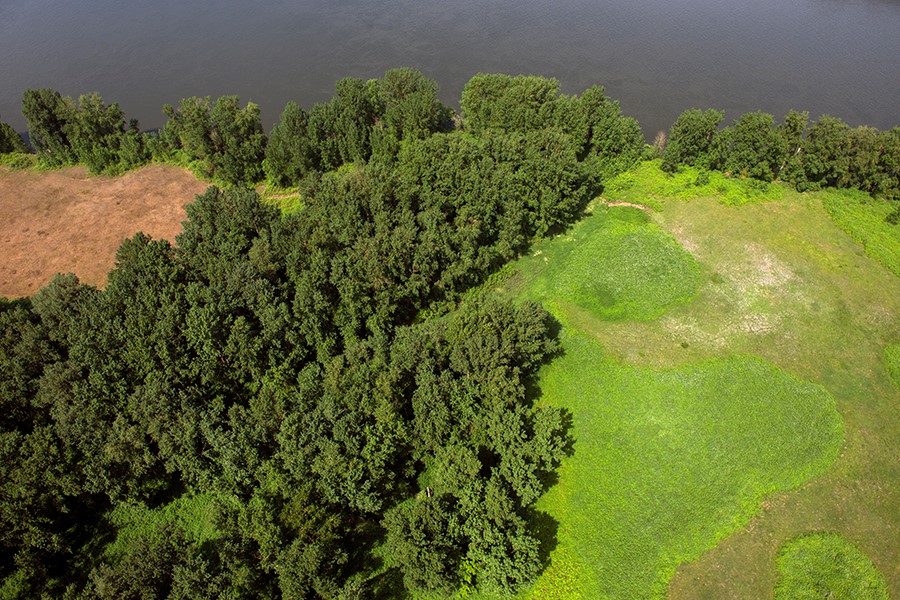
CREST work crews removed a large metal water-control structure, an old dock and 35 pilings to completely restore fish passage to Jewett Lake on the island. Their work was much needed on this stretch of the river, which is highly developed with cities, highways and levee systems – leaving little existing habitat opportunities.
“It was truly a pleasure to partner with CREST and their contractors on this project to restore fish habitat on Government Island. CREST did an outstanding job of managing the work and keeping the Port informed,” said Carrie Butler, senior conservation ecologist at the Port. “We’re excited to see how the sites establish over time and, hopefully, to see salmon in Jewett Lake, which would benefit many other species and the habitat.”
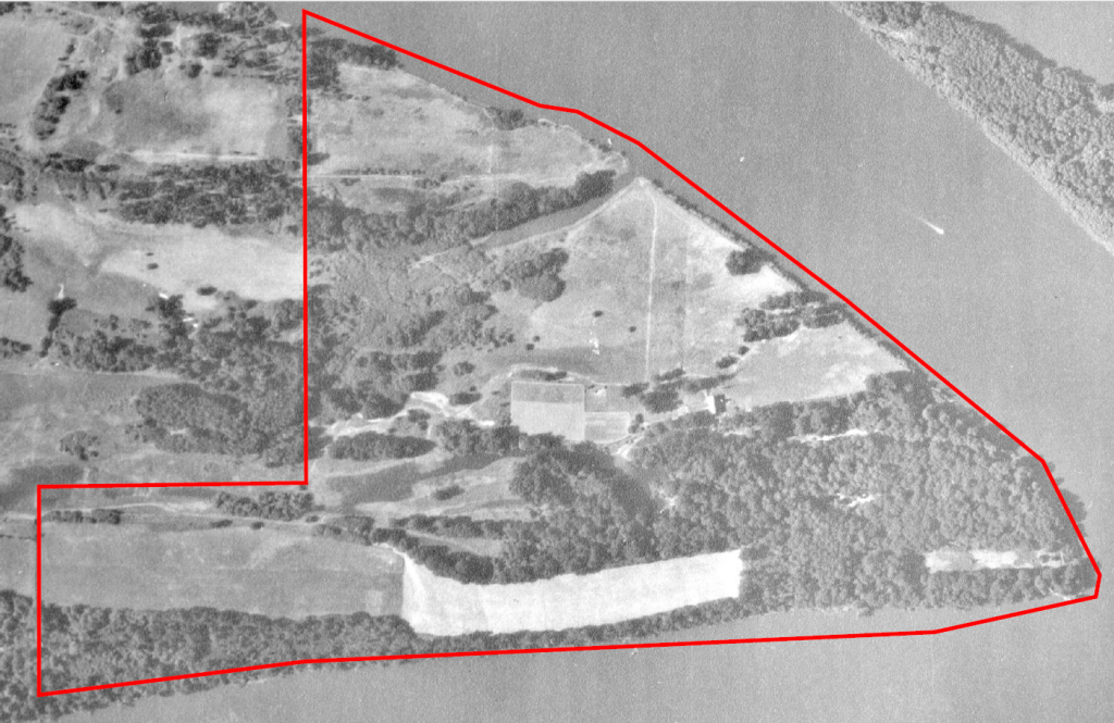
Historic Look:
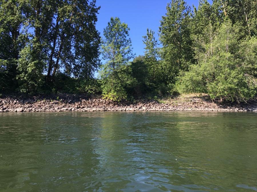
No inland access to Jewett Lake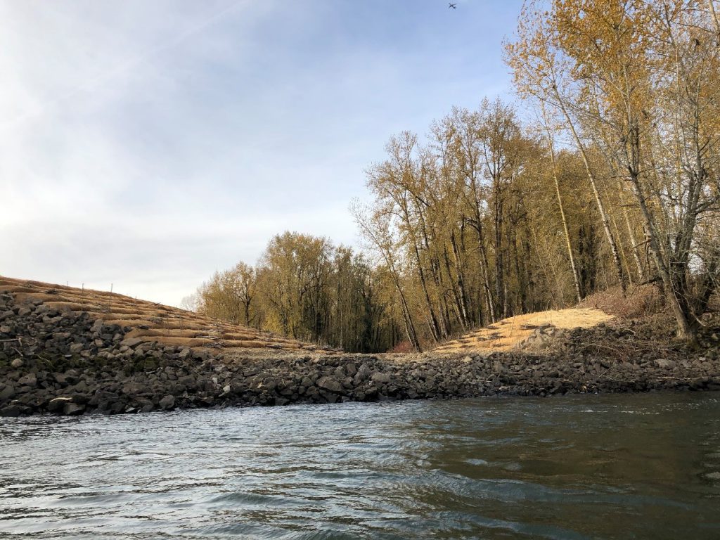
Updated Look:
Restored access for juvenile salmon
By opening up full fish access to the site, out-migrating juvenile salmon will have the ability to access these floodplain wetlands to forage and rest, increasing their survival odds as they work their way downriver through the cities of Portland and Vancouver and eventually out to the ocean.
“It was great teaming up with the Port on this restoration opportunity,” said Tom Josephson, habitat restoration program manager at CREST. “This project really fit well with the Port’s management and habitat goals for Government Island and CREST and our funders’ — the Bonneville Power Administration — goals of reconnecting floodplain wetlands in the Lower Columbia River Estuary. It was really nice to see so many hundreds of acres of habitat opened up so close to Portland.”
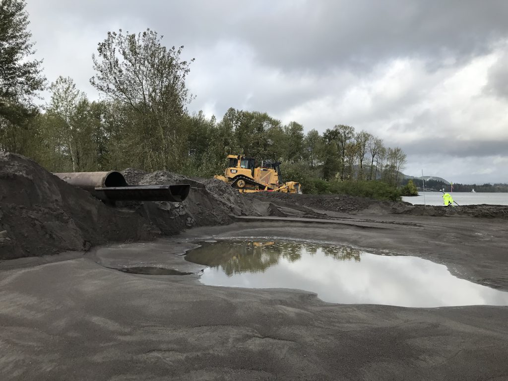
Building a New Island on the River
In 2020, the Army Corps of Engineers reached out to the Port for a similar – but rather unique – project.
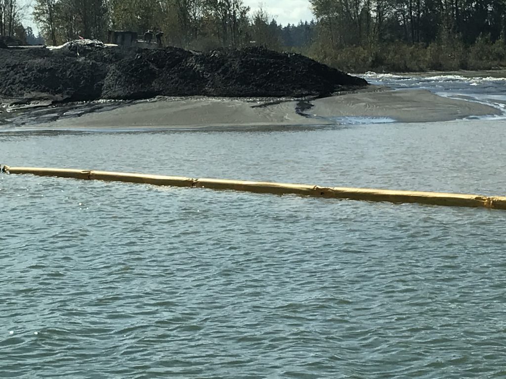
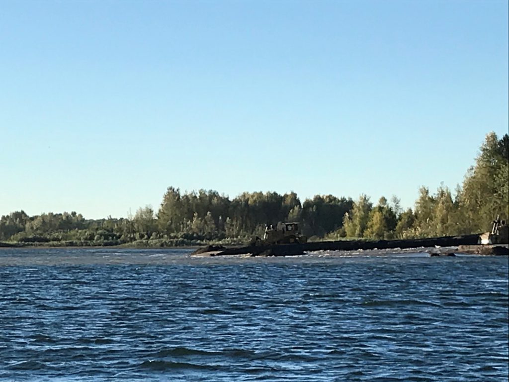
Woodland Islands is located near Woodland, Wash., about 30 miles northwest of Portland. It is an island the Port has used in the past to place dredge material. Every year, our Dredge Oregon works along the Columbia River grabbing sediment from the bottom of the river to create a 43-foot-deep channel that allows ships to safely navigate in and out from the mouth of the Pacific Ocean.
We need a place to put that sand and sediment – referred to as dredge material – and often find unused islands to place the material and help nourish the beaches. We’ve never built a new island with this sediment, however, and that is exactly what the Army Corps asked us to do.
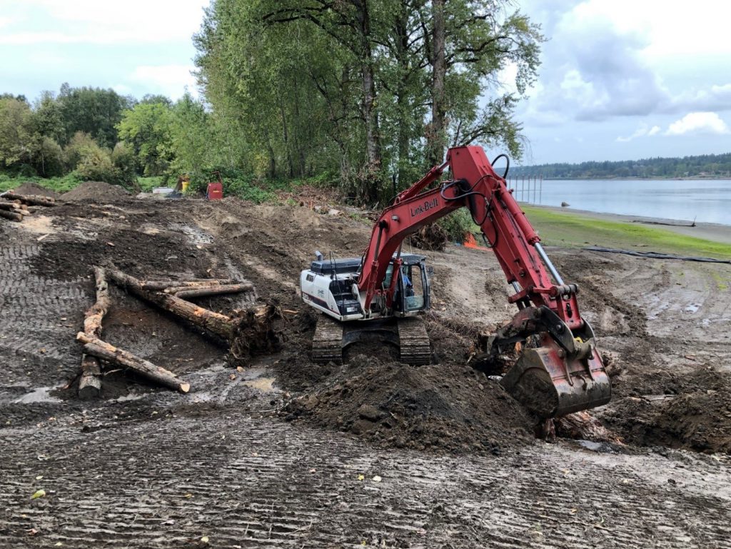
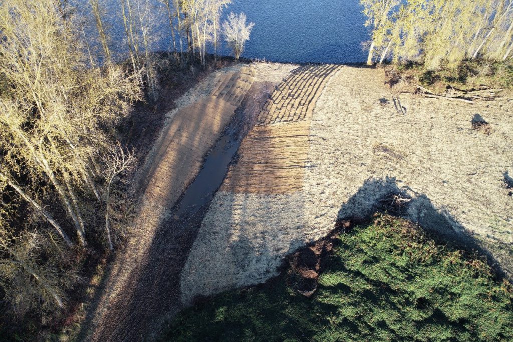
Our charge: create a new island on the north end of these existing ones that would serve as another safe harbor for young salmon and steelhead. We used the sediment we collected to build a 15-acre land mass, which had specific grading requirements to create distinct layers for the fish.
“We were able to direct and maintain the flow of material in a way that kept our heavy machine operators safe. This is very challenging when creating new land. Until the material solidifies, it’s like walking on a bowl of Jell-O,” said Mark Wright, hydrographic surveyor for the Port.
It took us about a month to complete the project, which was a fun challenge but certainly was just that: a challenge. We had intricate topography requirements and had to overcome – and find solutions for – turbidity that arose when we dumped the sand into the river to build this land.
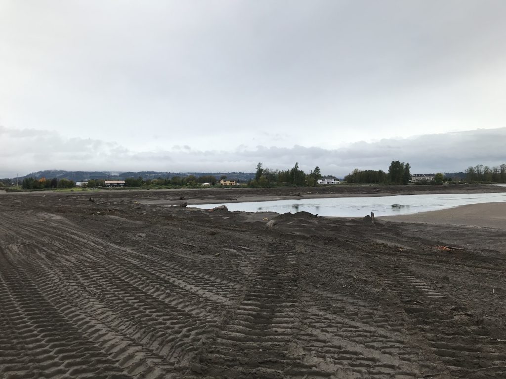
Shore superintendent Neil DeRosier was proud of the way the whole team adapted along the way. “This project was unlike anything that we have done in the past, and I felt like everyone was very professional and flexible when it came to building this habitat,” said Neil, noting that this project wouldn’t have been successful without a team that was open to adjusting designs along the way.
Researchers and biologists estimate this hard work will pay off, creating additional safe habitats for our hundreds of thousands of Nemo equivalents that travel through the Lower Columbia River each year.